Western Long Island Sound Hypoxia in Summer 2022 Time-Lapse Videos
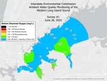
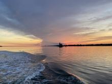
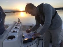
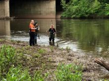
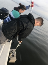
Check out these time-lapse videos depicting the onset (and subsequent dissipation) of #hypoxia in western Long Island Sound! These visualizations were developed using dissolved oxygen measurements taken by IEC during weekly #waterquality surveys in summer 2022. Discrete (individual) dissolved oxygen measurement were interpolated using GIS to estimate dissolved oxygen in areas surrounding the discrete measurements. The dissolved oxygen maps from each weekly survey were then collated into these time-lapse videos.
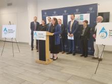
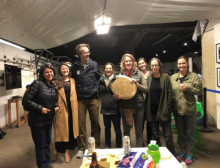
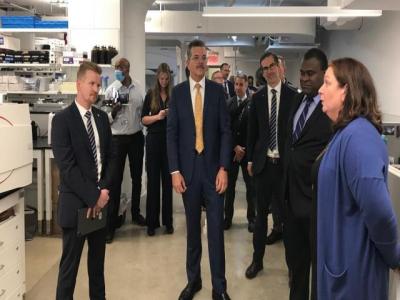 It was a landmark day for IEC on Monday, October 24th, as we held a ribbon-cutting ceremony for our new laboratory and office headquarters, located at BioBAT, on the former Brooklyn Army Terminal complex on the Brooklyn Waterfront.